Archives. A group of archaeologists catalogued 700,000 pieces belonging to different historic periods
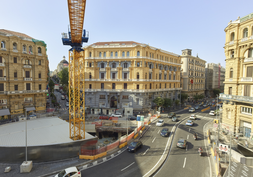
What lies concealed on the bottom of the canals of a city? What objects are hiding under there and what do they have to say about the history of a place? This was the question raised by a group of archaeologists in Amsterdam, which had the opportunity to access the bed of the river Amstel, drained between 2003 and 2012 during construction to expand the subway.
Below the surface, this was the name of the research project, catalogued almost 700,000 pieces: objects and fragments that have been photographed and gathered in the book “Stuff”, published in June 2018
A book with over 15,000 photographs that tell a part of the story of this Dutch city, from the prehistoric era to the year 2000. The project has given rise to an interactive website where one can browse through the various artefacts, divided by historical periods or grouped on the basis of their function

They range from the tools used to process skins, to animal bones, from terracotta shards of amphorae to the more recent vessels in decorated ceramics, from cutlery and pots and pans dated 1500, to pipes for tobacco dated 1600, parts of grandfather clocks dated 1800 to the most recent metal watchbands, fishing hooks and anchors of all kinds, cameras and mobile phones from various years.
The wealth of this content is no surprise if one considers that for centuries the drained river represented a historic artery in the city, used by the many boats that left the commercial port positioned at its mouth in the nearby Ij lake, and that still runs through the heart of one of the most cosmopolitan cities in Europe counting almost a million residents.
Waste deliberately thrown off boats or lost accidentally. A collection of articles that “paints a multi-faceted picture of daily life in Amsterdam – as the archaeologists themselves explained – a fascinating discovery, breathtakingly poetic, especially given the random nature of the find”.
A research study that generated an archaeological database, carefully catalogued, “a tool for interpretation – as the professionals who took part in the project emphasized – that can be organized in many different ways based on the categories of data. The results can be classified in groups to establish various connections between the respective properties”.
In addition to the numerical analyses, using a 3D GIS mapping model also made it possible to take stock of the changes that have taken place in the use of urban spaces
Based on the types of artefacts that were found, the researchers were successful in identifying the different areas and their evolution over the years, from residential areas to industrial spaces with workshops, from commercial areas with shops to the ferryboat terminals. “The finds – commented the archaeologists – indirectly reflect the life and work that took place along the river banks, the transportation by water and the waste disposal”. One example? The different distribution of funnels, cans of sugar and syrups, all products made with the same redware but functionally diverse. “This element – explained the professionals – can help us to identify the areas of production and the areas of distribution”.


© ALL RIGHTS RESERVED
translation by Olga Barmine