Floods, fires, blackouts. New methods for fighting them using data analysis and machine learning.
Floods, fires, electrical blackouts: the spotlights are focused on artificial intelligence and satellite data within the framework of the strategies to fight climate change and the planning policies for the prevention of environmental risk. And for the plans to limit energy consumption, the projects and initiatives aimed at eco-sustainability, and first and foremost to speed up and optimise rescue operations in the case of extreme events.
One emblematic case is the Emilia-Romagna region: the Civil Protection service has activated an emergency satellite service known as Ems Rapid mapping from the Copernicus constellation – which has been operative since 2012 – to collect important information about flooded areas and begin to quantify the damage. The alert eye of the satellites, active 24 hours a day, was fundamental: the images and spatial data integrated with the data collected by airplanes and drones made it possible to identify the most severely damaged areas and to activate evacuation and rescue operations with unprecedented precision.
From road maps to maps dedicated to observing the Earth: Google has long activated a series of databases and dashboards to allow researchers and government entities to obtain fundamental data about the evolution of the territory: from deforestation to coastline erosion to the spread of urbanisation. In recent days, the use of FloodHub has been extended to 80 countries, Italy included. This is a platform based on artificial intelligence designed specifically to anticipate flood risk. In detail, the system is able to anticipate phenomena up to 7 days before the event occurs, an exceptional result if one considers that until one year ago, estimation was limited to 48 hours. This result was made possible by the integration of satellite data and weather forecasting. «The technology combines two models, a hydrological model that can foresee the quantity of water flowing through a river and a flooding model, that identifies areas potentially at risk», explains the American colossus. This is important information, considering the increase in extreme phenomena such as floods, which affect over 250 million people around the world, and cause economic damage estimated at about 10 billion dollars.
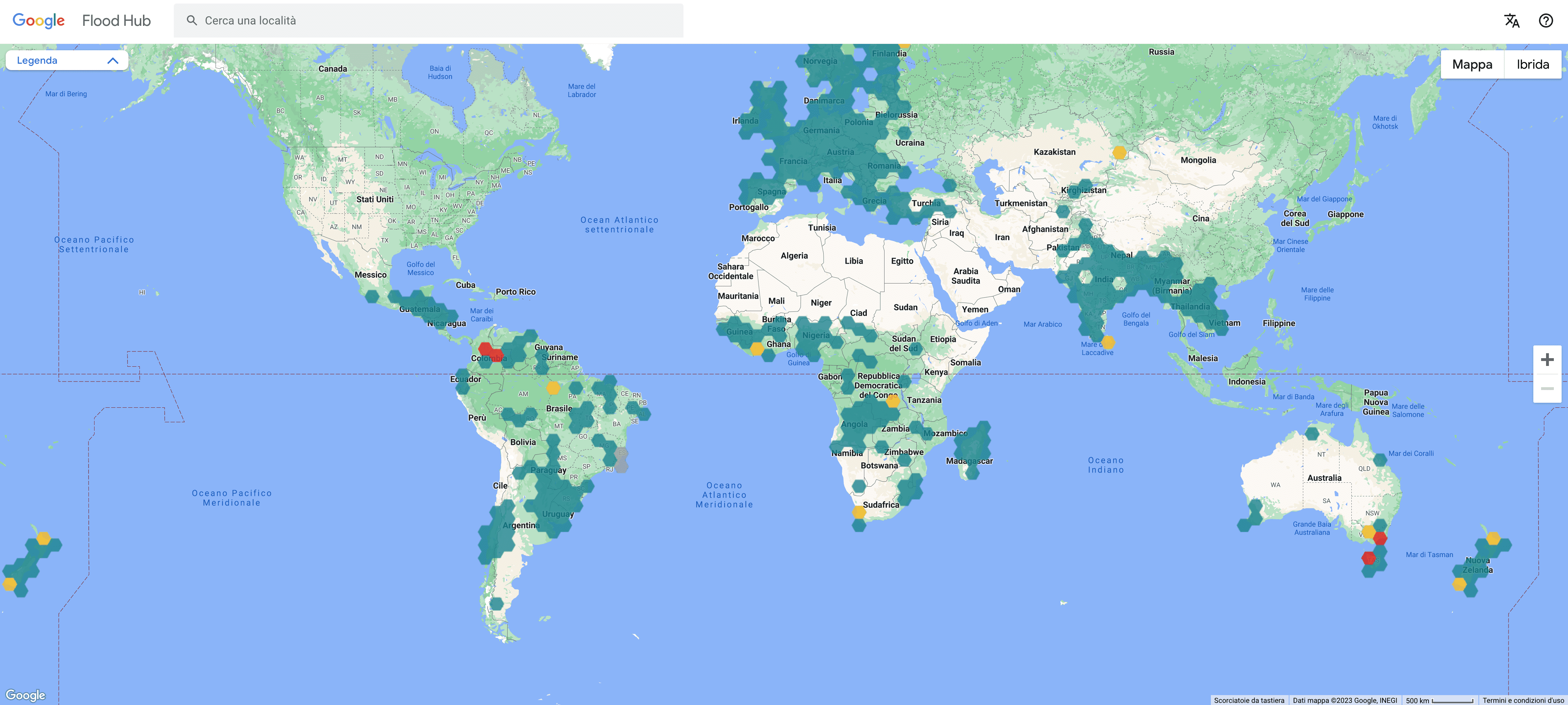
Schermata di Google FloodHub ©Google
The European patent office has just launched Espacenet, a platform that contains over 140 million documents about “life-saving” systems and technologies from 100 countries, to help governments and authorities to develop strategies to fight fires and protect territories. The year 2022 went down in history as an annus orribilis: over 830 thousand hectares of land damaged by forest fires, causing economic costs in excess of 2.5 billion euro.
Initiatives are arising in Italy as well: Enea, Politecnico di Bari and the Università Roma Tre have announced a project that relies on artificial intelligence and machine-learning techniques to prevent electricity blackouts caused by heat waves.


The system was developed within the framework of the Rafael project funded by the Ministry of the University and Research and has already been tested on a large electricity distribution network in Southern Italy. The team has “trained” the algorithm based on the data relative to malfunctions that occurred between 2015 and 2020, to weather conditions and energy flows, to identify possible correlations. An analysis has been made of a series of data and it has been possible to obtain accurate results in terms of forecasting future damage to the electrical network. «The energy distribution infrastructures are systems that are particularly vulnerable to natural disasters and extreme weather events, such as heat waves, especially in large urban areas, explains Maria Valenti, head of the Laboratorio Enea Smart grid and energy networks. That is why it is important to discover new solutions to monitor and manage the grid to foresee possible malfunctions, such as data analysis and machine learning techniques for example».
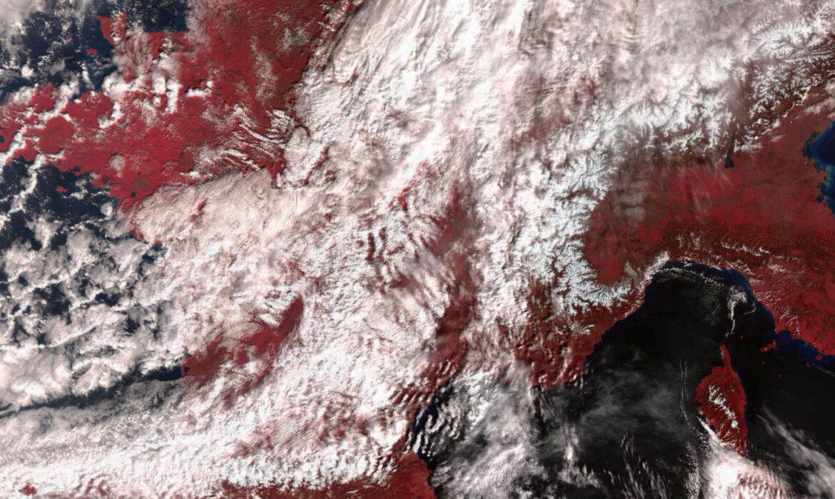
On the cover: France ©Copernicus.eu
© ALL RIGHTS RESERVED